Bike and Pedestrian Master Plan

Share Bike and Pedestrian Master Plan on Facebook Share Bike and Pedestrian Master Plan on Twitter Share Bike and Pedestrian Master Plan on Linkedin Email Bike and Pedestrian Master Plan link

Consultation has concluded

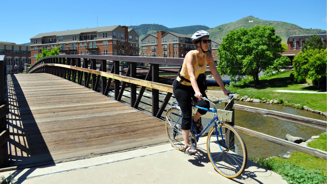
Woman rides her bike across a bridge in Golden.

The 2023 Pedestrian and Bike Plan is Approved!

City Council approved the Plan at their September 12, 2023 meeting, with implementation of several projects already in progress. The final version of the Plan will be posted shortly and on the City of Golden website.

Background Information

City staff and residents have previously collaborated on multimodal issues through the 2003 Bicycle Master Plan and the 2008 Bicycle and Walkability Task Forces. Many of the project and policy recommendations from these documents have been implemented.

In 2020, the City adopted the Transportation Master Plan (TMP) to guide transportation policy, programs and capital investment. The community came together around a shared set of aspirational transportation values—Safe and Connected, Livable and Resilient and Prudent and Equitable. The TMP recognized the need for additional planning to achieve these values for walking and biking in Golden.

Why Create a Bike and Pedestrian Plan?

Golden is already recognized as a regional cycling destination with access to the foothills. On summer weekends, thousands of residents and visitors enjoy walking through Downtown Golden and along Clear Creek. A bike and pedestrian plan will provide the groundwork to ensure everyone—residents, visitors and commuters—has access to safe and efficient multimodal travel. More than just infrastructure, the Plan will focus on expanding our walking and biking culture through partnerships, programs and policy.

Please contact Matt Wempe (mwempe@cityofgolden.net; 303-215-8884) if you, a person you are assisting, or an organization needs additional help to engage with our planning process due to limited access to technology, a disability or a language access need.

Consultation has concluded

If you have any questions about the master plan, let us know! We'll do our best to get an answer to you as quickly as possible.

  • Share Are there any plans to make a paved path from the North Table Mountain Open Space parking on the west side to the neighborhoods north of North Table? on Facebook Share Are there any plans to make a paved path from the North Table Mountain Open Space parking on the west side to the neighborhoods north of North Table? on Twitter Share Are there any plans to make a paved path from the North Table Mountain Open Space parking on the west side to the neighborhoods north of North Table? on Linkedin Email Are there any plans to make a paved path from the North Table Mountain Open Space parking on the west side to the neighborhoods north of North Table? link

    Are there any plans to make a paved path from the North Table Mountain Open Space parking on the west side to the neighborhoods north of North Table?

    GregM asked about 2 years ago

    This is a Jeffco Open Space project that will connect Golden to 58th Avenue.  Their current statement on scope and schedule is below.

    "Jeffco Open Space is starting on the planning and design effort for the Tucker Gulch Trail along 93 by North Table Mountain Park but is still in the internal planning phases of the project. At this time we are considering all opportunities for connectivity in the area to make sure the alignment is best suited for regional connections. This project is positioned to be designed and constructed by a contractor, with the construction target being in 2023. That being said, this is all still very tentative and very much in the beginning stages of development, so planning, design, and construction timetables are very fluid at the moment."

  • Share Besides adding a pin to the map, in the Other category, to make a comment, how can someone update/or comment on a given pin that exists on the map? It does not look like you are seeking "up votes" or other ways to indicate a strong desire for a certain action. What is best way to comment on the map? on Facebook Share Besides adding a pin to the map, in the Other category, to make a comment, how can someone update/or comment on a given pin that exists on the map? It does not look like you are seeking "up votes" or other ways to indicate a strong desire for a certain action. What is best way to comment on the map? on Twitter Share Besides adding a pin to the map, in the Other category, to make a comment, how can someone update/or comment on a given pin that exists on the map? It does not look like you are seeking "up votes" or other ways to indicate a strong desire for a certain action. What is best way to comment on the map? on Linkedin Email Besides adding a pin to the map, in the Other category, to make a comment, how can someone update/or comment on a given pin that exists on the map? It does not look like you are seeking "up votes" or other ways to indicate a strong desire for a certain action. What is best way to comment on the map? link

    Besides adding a pin to the map, in the Other category, to make a comment, how can someone update/or comment on a given pin that exists on the map? It does not look like you are seeking "up votes" or other ways to indicate a strong desire for a certain action. What is best way to comment on the map?

    camerdb asked about 2 years ago

    Adding a pin in the "Other" category is the best way to include a comment to the map itself.  Comments can also be emailed to mwempe@cityofgolden.net.

  • Share Are there any plans to connect unincorporated Golden by Colorado mills by bike path? on Facebook Share Are there any plans to connect unincorporated Golden by Colorado mills by bike path? on Twitter Share Are there any plans to connect unincorporated Golden by Colorado mills by bike path? on Linkedin Email Are there any plans to connect unincorporated Golden by Colorado mills by bike path? link

    Are there any plans to connect unincorporated Golden by Colorado mills by bike path?

    Acpapuga asked over 2 years ago

    The recently updated Jefferson County Bicycle Plan includes several bike facilities to improve connectivity between Colorado Mills, unincorporated Golden and the City bike network. These facilities will connect into existing or planned City bike lanes and/or paths. City staff regularly coordinates with Jefferson County Transportation and Open Space, the Colorado Department of Transportation and other partners to ensure walking and biking routes connect across city limits and state and federal highways.